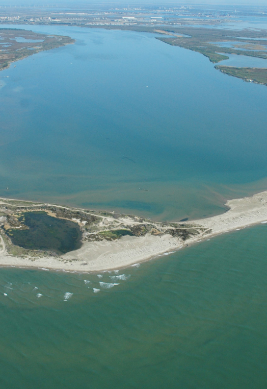
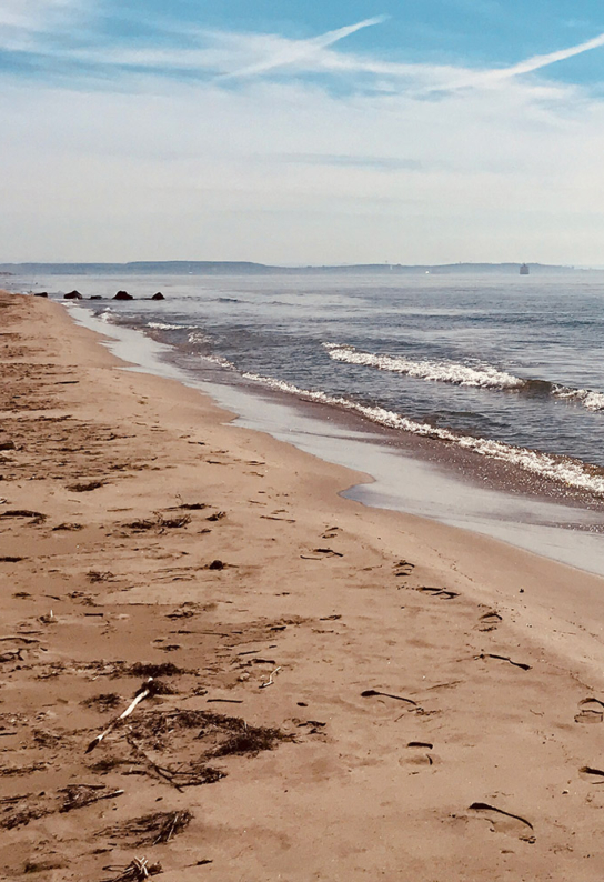
About 10,000 years ago, the gradual recession of the sea and the deposits of alluvium from the various Rhône river beds gave way to the Rhône Delta. Sandy strips formed and marked shorelines, creating lagoons isolated from the sea and characterized by brackish or salty waters.
Thus were born the ponds and marshes of the Camargue forming the largest wetland of the Mediterranean, after the Nile.
The marshes and reed beds of the fluvio-lacustrine Camargue
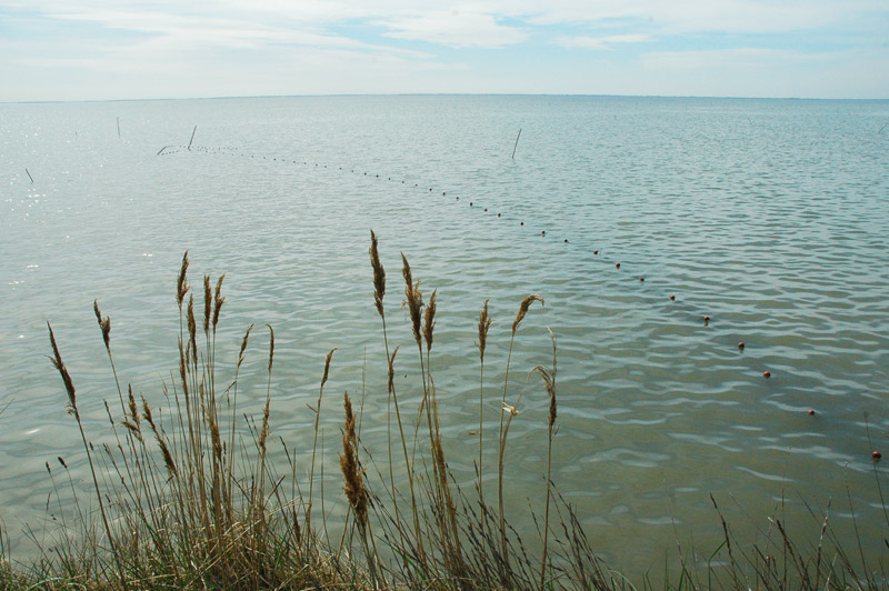
In the northern part of the Camargue, the three large marshes (Saliers, Pont de Rousty and Grand Mar) are surrounded by a multitude of smaller marshes expanding east and west of the Vaccarès pond. Sweet or barely salty, these shallow marshes are covered with vast reed beds, a suitable habitat for the reproduction of many bird species. These areas are pastures for bulls and horses from spring to autumn.
Les Vigueirat marshes
At the junction of the Rhône delta and the Crau, the Vigueirat marshes are a protected natural site where more than 2,000 animal and plant species are recorded. On foot, on horseback or in a carriage, with or without a guide… Nature is waiting for you!
The Vaccarès, pond-king of the Camargue
The Vaccarès is the largest pond in the Camargue, extending over 6,500 hectares with a depth that does not exceed 2 meters. The site of Vaccarès is nearly identical to the area of the Camargue National Nature Reserve.
The site is managed by the Société nationale de protection de la nature (SNPN) welcoming visitors at it’s entry spot: La Capelière, Maison de la Réserve et du Vaccarès.
The salt marshes, a reconquest
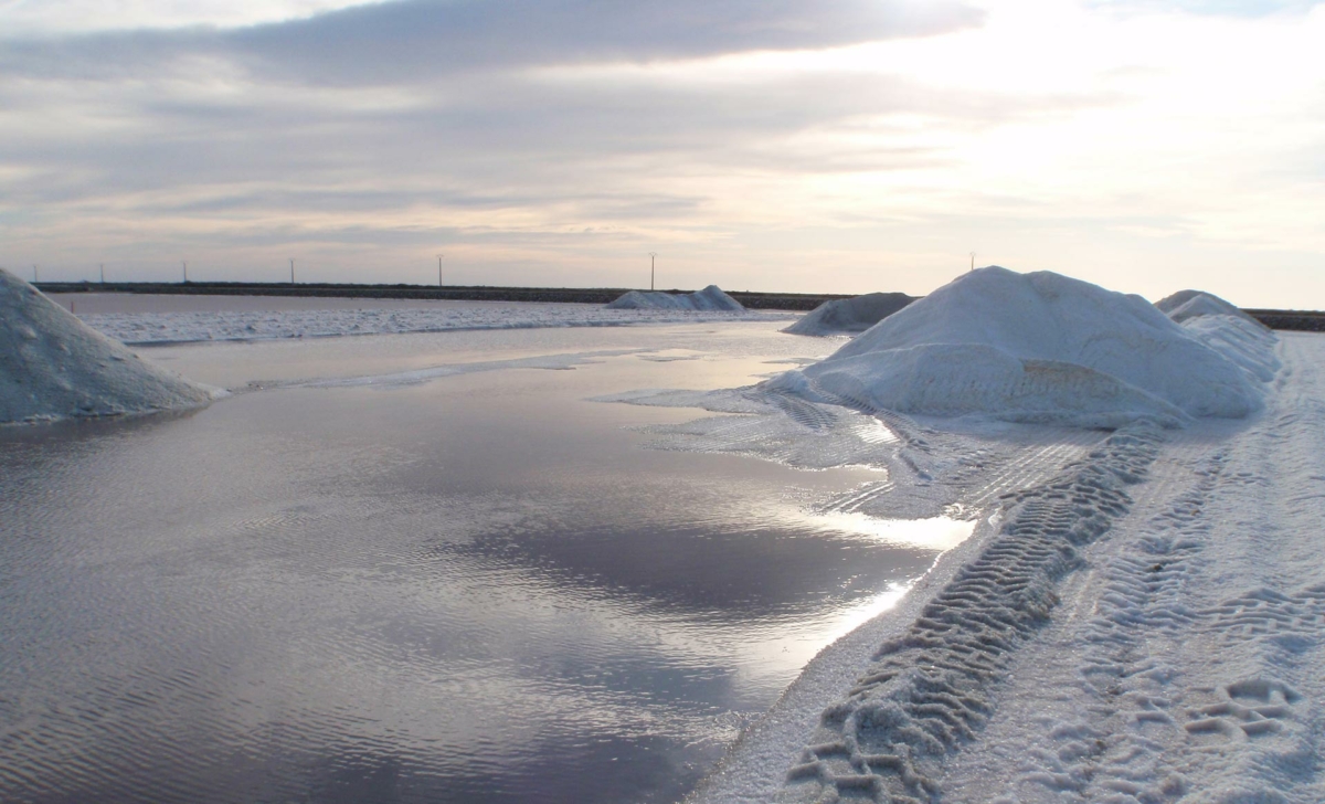
On the Salin-de-Giraud site, nature takes back its rights where men had shaped the landscape for the industrial exploitation of salt. In 2007, the Salins du Midi company sold more than 6,000 hectares to the Conservatoire du Littoral.
Discover this site by following the circuit “Of salt and flamingos”.


